About our maps. I am particularly obsessed by maps and always have been. One of my last student architectural projects was based around ordnance survey maps.
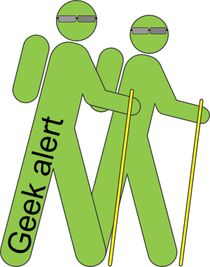
Tomorrow we will be heading off to Lundy, where internet may be patchy, if not non-existent, so therefore today you get two posts. You may not get another post until late next week, but we will do the best we can. We also felt we should warn you of any geeky and techy stuff so from now on these posts will start with our Geek Alert logo;
In our hall in Ebbsfleet is a world map of all the places we have been too. It will need quite an update on our return. This is part of the reason why at the end of each trek or kayak session we are really keen to show you the routes we have taken. We will also give you regular updates to how far we have walked and paddled, which currently stands at;
| Distance | Time | Ascent | Descent | |
| Trekking | 207 km | 62 hr | 6.6 km | 6.9 km |
| Kayaking | 59 km | 15.5 hr | 0 | 0 |
We have been using a wordpress plugin called Nomad to show Dora’s route around the country. This is really time consuming and an arduous process to keep updated. For every point you needed to find it on the map, adjust it and then link it to a post, all this had to be completed while online, probably another reason why we were getting through so much data! So Nomad has now been ditched, and along comes WP flexible maps, this means we can create a route, which we are currently doing in Quo from MapyX (see below). This is then exported to a .kml file and then embed into our site, much quicker, so you will now see, under our route, three separate maps; Drive- Dora’s route, Trek, our walks and Paddle, our excursions on water. When we move on from the UK we will be doing this in Google Earth, the originator (I think) of the .kml file format.


In case you were wondering, we are using Quo v2 from MapyX for all our Ordnance survey maps of the UK.
You can find them here; www.mapyx.com we bought the whole of the UK at 1:50,000 a couple of years ago, so this is now becoming very useful. You can draw your own routes to work out the distance and profile of the walk and then these can be uploaded onto a GPS or phone. Unfortunately they do not support iphone! However, we generally just print out the map and take it with us.

We have upgraded Lundy to 1:2500 and intend to cover every footpath on the island.

Not sure how we are going to cope when we are in different countries. We have a lot of Cicerone guides, but the maps are not very good in these. This also then becomes difficult to publish on the blog. Any suggestions would be welcome.
GDR
Great job Gary, your maps are an essential item for keeping track of your adventure.
I know some mapping app´s for android but not for IOS.
However have a look to this link:
http://think.allianz-assistance.es/2014/04/5-aplicaciones-indispensables-para-practicar-senderismo/
Maybe it could be ussefull in Spain for you two
Regards
Would be good to know for spain.
Thanks